← All citiesPopulation series · 40 / 50
 Updating preview…
Your choices update the artwork above. The print uses this same design.
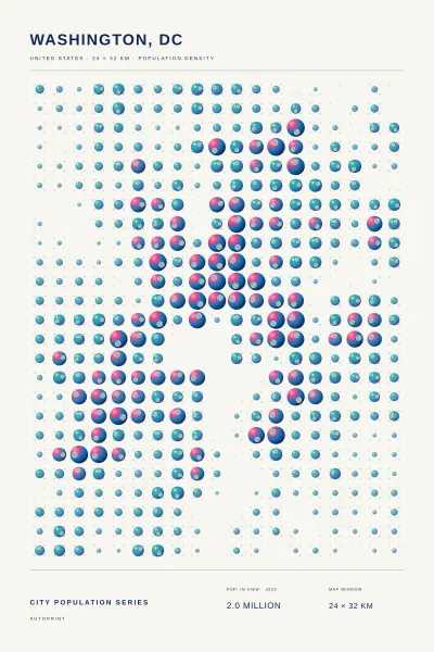
City locations: GeoNames (CC BY 4.0). The population estimate covers the selected map area in 2020, adapted from the European Commission’s GHS-POP R2023A (CC BY 4.0; Pesaresi et al., 2024). Circle sizes are scaled within this city and map view. Colors and inset discs are decorative.
Made from modeled population
Washington, DC.
United States · Population atlas
The population of Washington, DC, drawn as gradient lenses across a geographic grid. Larger discs mark denser areas; smaller dots retain the shape of the city. Adjust the lenses, then choose how to print them.
Your print
$26
Shipping and tax calculated at checkout.
Printed on demand. Review your order in the cart before checkout.